")

Central Virginia Blue Ridge
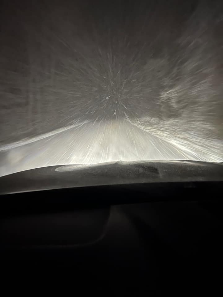
As predicted, a heavy, wet, blanketing snow hit across the area just before daylight Monday morning. It all started as rain before daylight, but all turned to snow by early morning.

Roads are also in pretty bad shape with drivers reporting hazardous conditions all across the area.
From VSP:
“State police have responded to 313 traffic crashes and aided 277 disabled/stuck motorists since 12:01 a.m. Monday (Jan. 3) through 10:30 a.m. Monday (Jan. 3). The majority of those crashes have involved only damage to vehicles. There have been no reported fatalities at this time.
As of 10:30 a.m. Monday (Jan. 3), state police are currently responding to 137 traffic crashes and 119 disabled/stuck vehicles across the state.
State police is still on the scene of a jackknifed tractor-trailer blocking the westbound lanes on Interstate 64 at the 168 mile marker in Goochland County. There were no injuries and the tractor-trailer is hauling 18,000 lbs of plastic furniture.
—————————————————-
From 12:01 a.m. through 10:30 a.m. Monday, Virginia State Police have responded to:Richmond Division: 52 Disabled Vehicles & 108 Traffic Crashes
Culpeper Division: 37 Disabled Vehicles & 16 Traffic Crashes
Appomattox Division: 45 Disabled Vehicles & 43 Traffic Crashes
Wytheville Division: 56 Disabled Vehicles & 31 Traffic Crashes
Chesapeake Division: 11 Disabled Vehicles & 30 Traffic Crashes
Salem Division: 41 Disabled Vehicles & 48 Traffic Crashes
Fairfax Division: 43 Disabled Vehicles & 33 Traffic Crashes
If you must travel during the storm:
– Know Before You Go! Before heading out, check Virginia road conditions at www.511virginia.org or download the VDOT 511 app.
– Clear ALL snow and ice from the roof, trunk, hood and windows of your vehicle – car, SUV, minivan, pickup truck, commercial vehicle – before you travel.
– Use your headlights – in rain AND snow.
– Drive for conditions – slow your speed and increase your traveling distance between the vehicle ahead of you.
– Buckle Up.
– Avoid distractions – put down the phone.
– Do not call 911 or #77 for road conditions. Please keep these lines open for emergency calls.Corinne N. Geller
Public Relations Director
Virginia State Police”
From VDOT Lynchburg:
Lynchburg, Va. – Many areas have received multiple inches of snowfall and snow continues to come down at a quick pace, with many areas seeing snowfall rates at greater than one inch per hour. We continue to experience strong winds and receive reports of downed trees on roadways and vehicles in ditches.
Snow plowing continues but with the rapid rate of snowfall, cleared roads are becoming snow-covered again quickly. Visit 511virginia.org or call 511 for up-to-date information on road and traffic conditions.
The storm is expected to move out of the Lynchburg District early this afternoon. There is a risk of re-freezing on roadways this evening and overnight, beginning anywhere from 4 to 7 p.m., depending on elevation and local temperature variances. Drivers are asked to avoid driving if possible and be extra careful when on the roads, watch out for slick and icy spots and give themselves extra time to arrive at their destination.Len Stevens
VDOT Lynchburg
From VDOT Staunton / Ken Slack:
“HAZARDOUS DRIVING CONDITIONS THROUGHOUT THE SHENANDOAH VALLEY ON MONDAY
STAUNTON – (11 a.m.) The first major storm of the winter season has brought 2 to 10 inches of snow as of mid-day Monday in the Shenandoah Valley and Alleghany Highlands. Snowfall is expected to taper off Monday afternoon, but many roadways are snow-covered and slippery.The Virginia Department of Transportation urges motorists to postpone travel until after the storm abates and conditions improve. Re-freezing is likely beginning late Monday afternoon, so icy roadways are possible for the evening commute.
VDOT employees and contractors have been plowing and treating roadways throughout the 11-county Staunton District since early Monday morning. They work around the clock on rotating 12-hour shifts until all roads are passable.
Here are the road conditions as of 11:00 a.m. Monday:
Interstate 64 – Moderate conditions in Alleghany, Rockbridge and Augusta counties.
Interstate 66 – Moderate conditions in Warren County.
Interstate 81 – Moderate conditions in Rockbridge, Augusta and Shenandoah counties. Minor conditions in Rockingham and Frederick counties.
Primary roads – Moderate conditions in Alleghany, Rockbridge, Augusta, Rockingham, Page, Shenandoah, Clarke and Warren counties. Minor to moderate conditions in Frederick County. Minor conditions in Bath and Highland counties.
Secondary roads – Moderate conditions in Alleghany, Bath, Rockbridge, Augusta, Rockingham, Page, Shenandoah, Clarke and Warren counties. Minor conditions in Highland and Frederick counties.
For winter weather road conditions go to http://www.511Virginia.org, look at the orange bar on the top of the page and click on “Text Views” and then click on “Road Condition Table”. Look at the pull down box that lists all jurisdictions. In this box individual counties can be chosen to view.
On the go? Then visit VDOT’s Free Virginia 511 Tools to get your 511 app for android or iOS. Traffic alerts and traveler information can be obtained by dialing 511.
The VDOT Customer Service Center can be accessed through its mobile friendly website at https://my.vdot.virginia.gov/. Agents are on site 24/7 every day of the year to assist the public. People can also call the VDOT Customer Service Center at 800-FOR-ROAD (800-367-7623).
The Staunton District Snow Page is on the VDOT website under Travel Center Snow Emergency Pages. The Staunton District Twitter feed is at @VaDOTStaunton.
VDOT can be followed on Facebook, Flickr, Twitter and YouTube. RSS feeds are also available for statewide information. The VDOT Web page is located at http://www.VirginiaDOT.org.
The VDOT Staunton District serves Frederick, Shenandoah, Clarke, Warren, Page, Rockingham, Augusta, Highland, Rockbridge, Alleghany and Bath counties.
#
Road condition definitions:
Severe – drifting or partially blocked road.
Moderate – snow or ice on major portions of the roadway.
Minor – bare pavement except for isolated spots of snow, ice or slush.”


We will be updating this post with more photos from around the area and more information as it comes in. Meanwhile you can see lots of photos posted to our BRL Facebook page here.
Tommy


 Of Nelson County : Merry Christmas 2021!")