VIRGINIA’S SPRING FIRE SEASON IS HERE
Statewide 4 p.m. burning law in effect Feb. 15 through April 30
CHARLOTTESVILLE, VA – Joining fire departments across the Commonwealth, the Virginia
Department of Forestry (DOF) announces the start of spring fire season. Virginia’s statewide burning
law – which prohibits outdoor burning between midnight and 4 p.m. – is in effect from Feb. 15
through April 30. Violation of the burning law is a Class-3 misdemeanor punishable with a fine of up
to $500. Those who allow fire to escape may be liable for suppression costs and any resulting
property damage.
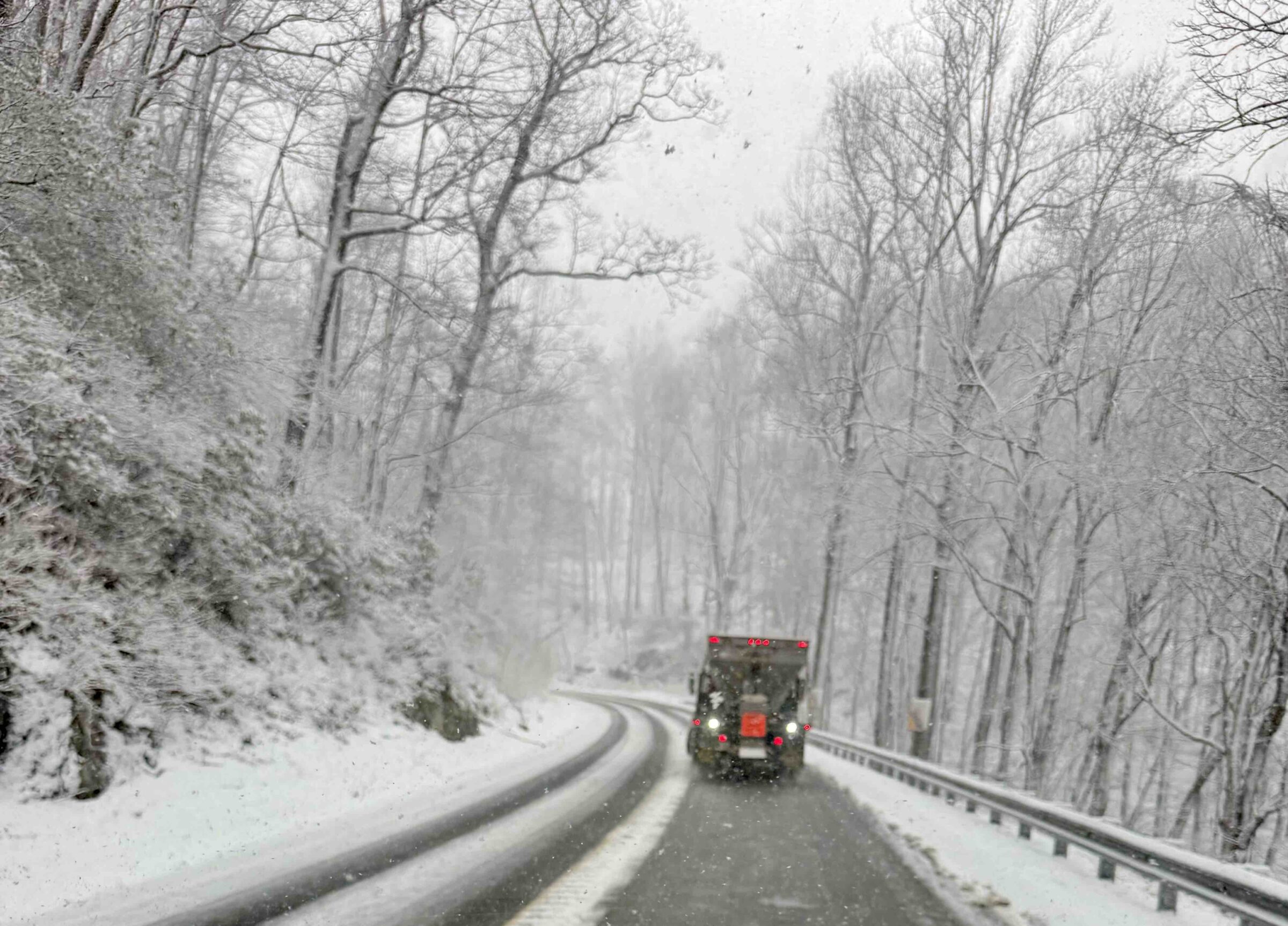
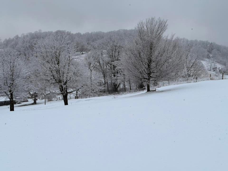
“Our recent winter storms and protracted snow and ice may push wildfires off of the radar, but that
would be a mistake,” said State Forester Terry Lasher. “Virginia saw 80 wildfires burn nearly 800
acres in January, an indicator of the overall dry conditions present across the Commonwealth. With
the light amount of total precipitation received this winter to date, we could see a quick return to
wildfire activity once the snow melt is complete.”
The 4 p.m. burning law applies to outdoor burning within 300 feet of the woods or dry grass. This
includes debris burning, campfires and open-air charcoal grills like those found in parks. The law
does not apply to charcoal or gas-fired barbecue grills. To learn more about Virginia’s 4 p.m. burning
law, visit DOF’s website. Some exceptions to the 4 p.m. burning law are made for campfires at
Virginia State Parks. Learn more from the Virginia Department of Recreation and Conservation.
“With approximately 700 wildfires in Virginia each year, the majority occur in spring,” said Chief of
Fire and Emergency Response John Miller. “Warmer weather, dry and windy conditions, and
abundant fuel – such as dead leaves and vegetation killed off by snow – increase the chance for
wildfires and make them harder to extinguish. In addition to the statewide 4 p.m. burning law,
individual localities may institute intermittent burn bans or restrictions. Always check with local
officials before any outdoor burning.”
Keep these things in mind this spring fire season:
• The 4 p.m. burn law applies to any fires not contained within a fireproof device (e.g.,
campfires, brush piles, bonfires, warming fires, etc.)
• Burning allowed between 4 p.m. and midnight if proper precautions are taken
• No fire may be started, and no fuels can be added to a fire after midnight
• Localities may have individual burn bans or restrictions in effect
• Avoid burning during dry and windy conditions
• Fires should never be left unattended
• Have a shovel, rake and a charged hose on hand for controlling the fire
• Call 911 immediately if a fire escapes your control
– 1 –###
About the Virginia Department of Forestry
The Virginia Department of Forestry (DOF) protects and develops healthy, sustainable forest
resources for Virginians. With 16 million acres of forestland and more than 108,000
Virginians employed in forestry, forest products and related industries, Virginia forests provide
an overall economic output of more than $23 billion annually. Headquartered in Charlottesville,
the agency has forestry staff members assigned to every county to provide citizen service and
public safety protection across the Commonwealth, which it’s been doing now for more than 100
years. DOF is an equal opportunity provider. #TreesAreTheAnswer


")

")


")
 While Tackling Icy Roads Across The State")
