
Central Virginia Blue Ridge
By Tommy Stafford
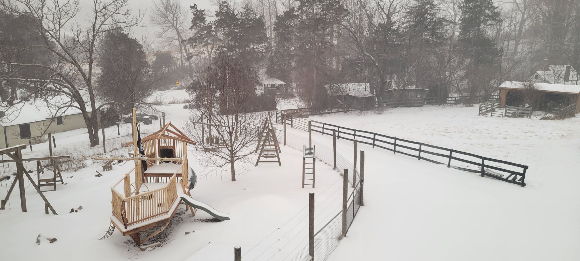
As predicted, heavy snowfall began in the Blue Ridge shortly after sunset on Saturday evening. High snowfall totals were hampered by heavy sleet that began in the predawn hours Sunday and continued falling throughout the day.
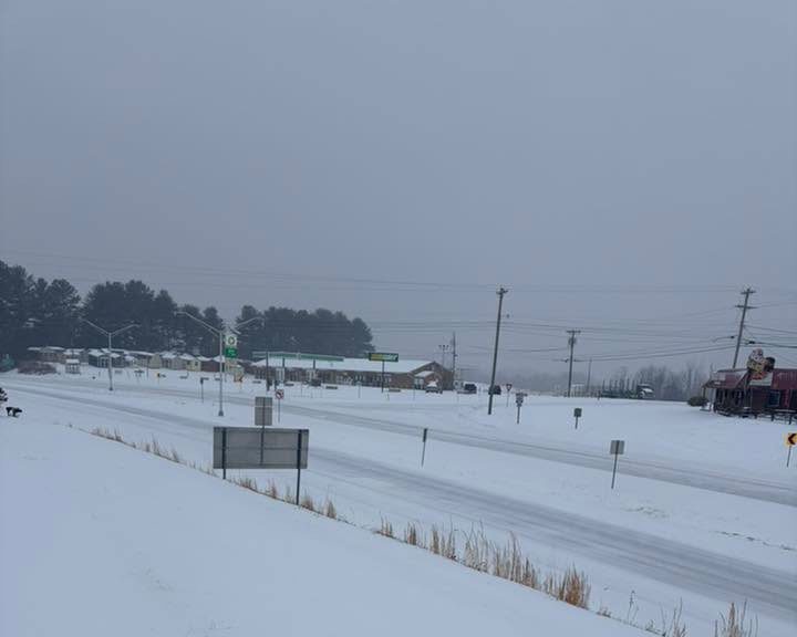
Roads across the area were mostly snow and sleet covered midmorning Sunday, but VDOT was out in force blading and treating primary ones.
From VDOT Staunton:
STAUNTON (11 a.m.) – “Do not drive” remains the key message for roadways in the Shenandoah Valley and Alleghany Highlands. Approaching mid-day Sunday, several inches of snow and sleet have already fallen throughout the region. Additional wintry precipitation is expected between now and early Monday.
The Virginia Department of Transportation continues plowing and treating major roadways throughout the 11-county Staunton District since Saturday evening. VDOT crews and contractors are working around the clock on rotating 12-hour shifts.
Plowing focuses first on interstates and most primary routes, and may not reach all secondary roads and subdivisions for several days. Extreme cold during and after the storm extends the time needed to complete plowing operations, and may cause refreezing on roads previously plowed and treated.
As of 11 a.m. Sunday, all roadways in the VDOT Staunton District are reported to be in moderate condition. This means snow and ice cover most of the road surface.
For emergency road-condition updates and travel information visit the 511 Virginia website, download the mobile app or dial 511. Motorists should check their entire route as conditions will vary throughout Virginia, to include dangerous ice accumulations in the southern part of the Commonwealth. 511 Virginia shows road conditions on a color-coded map and in county-by-county text listings. Conditions are defined as:
- Minor – bare pavement except for isolated spots of snow, ice or slush.
- Moderate – snow or ice on major portions of the road.
- Severe – drifting or partially blocked road.
- Closed – road is closed to all traffic.
The VDOT Customer Service Center operates 24/7 to help roadway users report potential hazards, make service requests or get information related to Virginia’s transportation network. Use its mobile friendly website or call 800-367-7623.
The VDOT Staunton District serves Frederick, Shenandoah, Clarke, Warren, Page, Rockingham, Augusta, Highland, Rockbridge, Alleghany and Bath counties. Follow the Staunton District on Facebook and X.
The VDOT website has winter weather travel tips, news releases, and links to social media accounts for VDOT districts throughout the Commonwealth.”
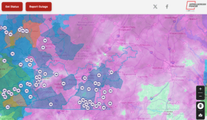
Central Virginia Electric Co-op had less than 50 outages reported just before noon Sunday just northwest of Appomattox, Virginia. CVEC live outage map can be found here.
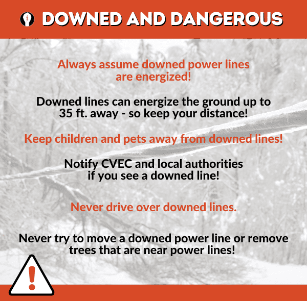
The bigger concern all morning has been when and if the heavy sleet changes over to freezing rain. For obvious reasons that would spell big trouble causing power outages and downed trees. The current thinking around noon Sunday is that the heavier icing would stay south of Route 460, but some lighter icing is still possible north of there.
At both Wintergreen Resort and Massanutten drivers with only four wheel drive or all wheel drive were being allowed /encouraged on the mountain early Sunday.
Also, all of the Blue Ridge Parkway in the area is closed as are any amenities. Details here.
Additionally all of Skyline Drive was closed as of noon Sunday. Here’s their details.
It’s given that most, if not all schools will be canceled on Monday, with the likelihood of those closures going well beyond that.
We will continue updating this story as the day progresses and goes into the coming week.
")


")

 Of Nelson Co, VA – 2025")

")

")
